

Climate
Climate Signal Registry
A local evidence layer that combines public environmental data with field and drone observations.
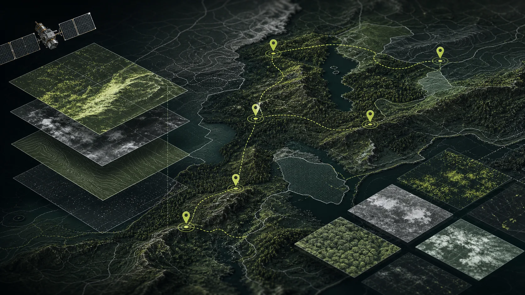
Climate monitoring becomes useful when it can answer local questions repeatedly.
Public satellite and climate datasets are a strong baseline. They are not always enough for a municipality, land manager, restoration project, or private operator that needs evidence at site level.
Climate Signal Registry combines:
- public satellite and climate sources
- site boundaries
- field observations
- drone captures where legal and useful
- sensor metadata
- review notes
- source hashes and report history
Why This Matters
Climate adaptation and nature restoration work depends on repeated observations:
- water-body extent
- wetland change
- forest canopy change
- thermal stress
- restoration progress
- storm or drought event comparison
The important product layer is not a beautiful map by itself. It is the evidence chain: what was captured, when, from which source, with what quality, and how the interpretation changed over time.
Product Layer
The core system loop is direct:
- Register monitored sites.
- Store boundaries and source links.
- Add public data references.
- Produce one repeatable report template.
- Add local observations and drone captures where they improve evidence quality.
Drone mission control becomes valuable once the registry already knows what evidence needs to be captured and why.